Castle Peak Hike
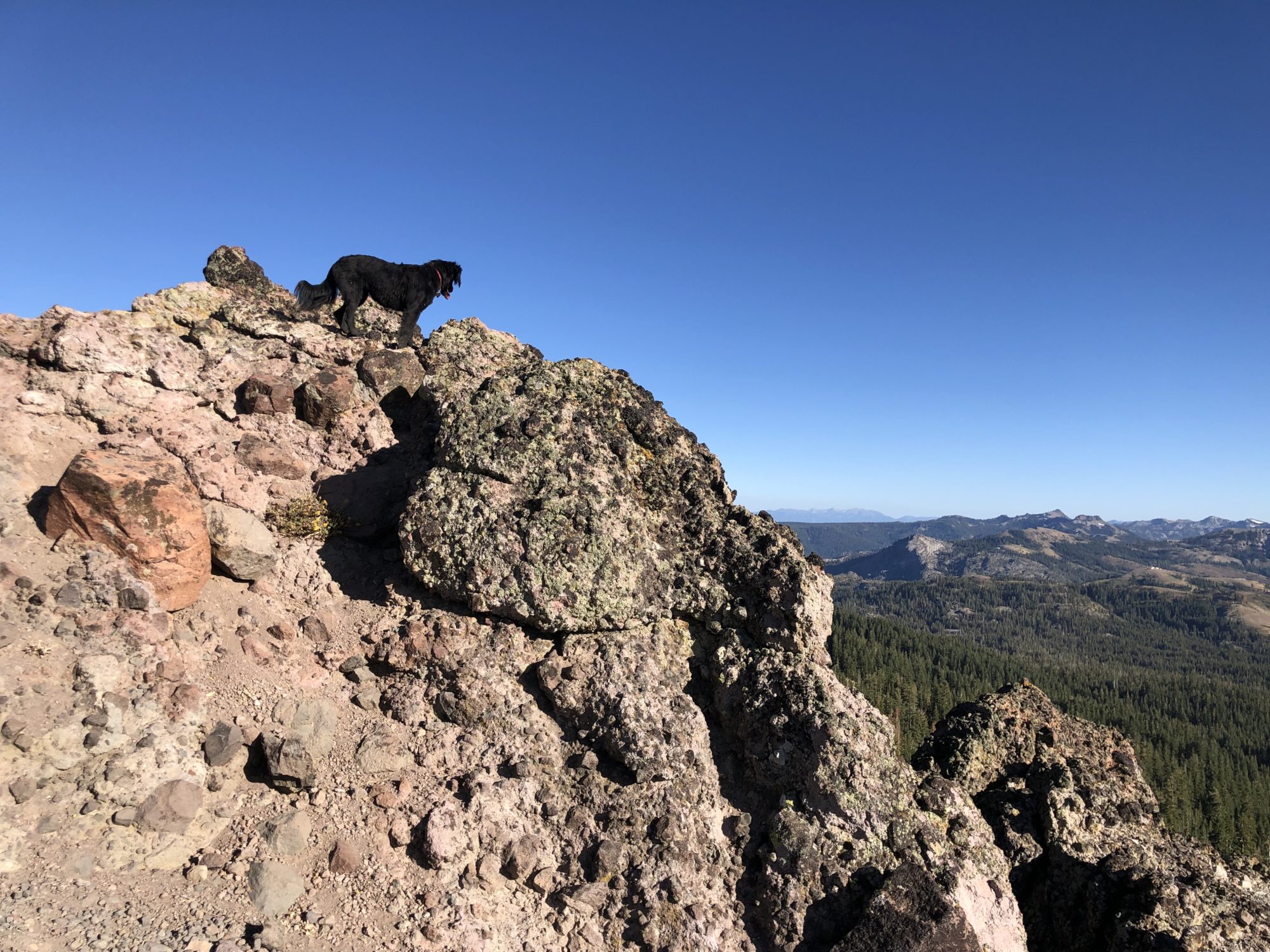
Castle Peak is a 6-mile out and back hike with great views. I like that it’s versatile, depending on where you park. It’s called one of the easiest altitude peaks (9100′) to hike in the Tahoe area, but you might still want to call this hike difficult – its steep!! (we didn’t bring our kids on this one and we think it was a good call)
As you approach the Summit at Donner Pass on I-80, you can’t miss Castle Peak on the left.
To get to the trailhead, take the Boreal/Castle Peak exit (between Soda Springs and Donner Lake.) Turn left off the exit, and for the most adventurous find a place to park here where the pavement road ends. If you have a 4WD with high clearance, I recommend following the dirt road to shorten the hike by a mile or so.
If you’ve parked at the bottom, start the hike by following the dirt road. The dirt road ends at a junction with the PCT, hike towards your right and follow the ridgeline up to Castle Peak.
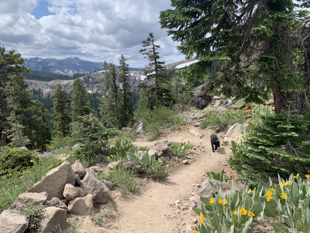
From the ridgeline you look to your left (north) and see a beautiful green valley and ahead and to the right you can see your destination. Simply follow the well defined trail to the top. The climb gets quite steep (1300′ gain, mostly in the last 2 miles) and hiking poles can be useful in the loose rocks and dirt.

Eagle Falls Hike (views of Lake Tahoe and Eagle Lake!!)
Eagle Falls is a great hike if you want to do an adventurous day trip that involves a drive halfway around majestic Lake Tahoe. The drive is an hour from Truckee, the hike itself is only 1.8 miles but can be heavily trafficked. You’ll be rewarded by picturesque views, two lakes and a waterfall.
Begin by following the trail that leaves from the parking lot, but don’t forget to check out Eagle Falls either at the start or finish of this hike – it’s right across the road.
Parking can be tricky for the Eagle Falls hike, as theres only a small lot or shoulder parking. It’s within Emerald Bay State Park, right on California State Route 89 (look for the signs).
We like to pick up sandwiches at West Shore Market or Obexer’s on the way, to turn this hike into a picnic. This is an ideal hike for kids because it’s not too difficult or long.

Judah Loop
Mount Judah Loop Trail is a 4.8 mile loop trail located near Truckee, California that features beautiful wild flowers and is rated as moderate. The trail offers a number of activity options and is best used from June until October.
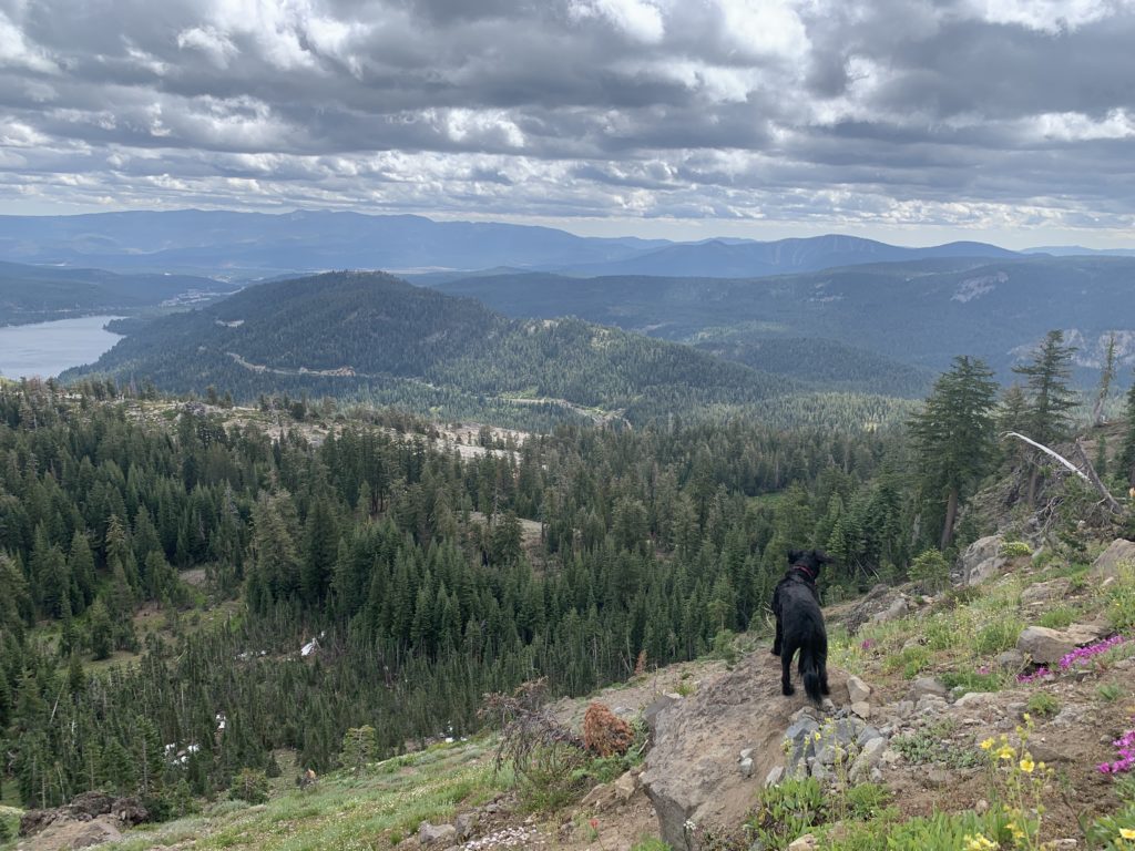
On the way up, enjoy the striking views of Mt. Rose, Truckee, Donner Lake, and Coldstream Canyon. The trail wanders along the crest of Mt. Judah, providing even better views of the surrounding peaks.
After the trail passes the crest, it descends gently to connect back with the Pacific Crest Trail just past Roller Pass.
Park off of Lake Mary Road or at Sugar Bowl Academy. You can access the abandoned train tunnels from this parking spot as well

Shirley Canyon Hike
This hike is fantastic because it ends up at the top of the renowned Squaw Valley ski resort – and you can take the aerial tram down to the bottom after you reach High Camp. This hike is 3 miles to Shirley Lake and another 2 miles to High Camp with a total elevation gain of 2,000 feet, so it is a challenging and difficult trail.
To access the trailhead, go to the end of Squaw Peak Road and park on the side of the road. There is a large sign and trail map at the trail head.
After passing three beautiful waterfalls on this trail, you’ll come to a granite slab – this part of the hike is difficult and requires a bit of scrambling. Well worth the views!!
Allow at least 3 hours to do this hike round trip, and check Squaw Valley’s hours of operation as they can vary daily and seasonally. If you plan to ride the aerial tram down – leave plenty of time to complete the hike. You can grab a drink or take a dip at High Camp as well.
Have a great time on these hikes! I hope you like them as much as we did!


